- Main ZIP
- 90813
- Soil Type
- Mapped As Urban
- Elevation
- 8 to 13 ft
- Miles To The Shore
- 1.5
- Empty Street Tree Sites
- 48
- Typical Home Built
- 1964
The Ground In Magnolia District
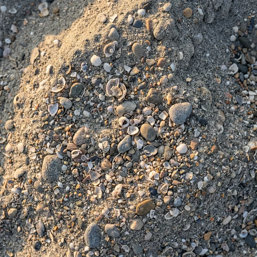
USDA maps this mostly as urban land, which means paved or built on with no soil details on file. Most of the points we checked are zoned IG, which means commercial or industrial.
What That Means For Your Yard
- The survey gives no soil numbers here, so dig and test before you pick plants.
- Yard soil may be imported, so it can change from bed to bed.
- Containers and raised beds are a safe way to start on tight lots.
The city flood map shows FEMA zone AH at points we sampled here, which marks ground with mapped flood risk. Plan drainage around that, and check your own parcel before you regrade.
Weather And Homes
About 1.5 miles from the shore, the area gets a cool sea breeze most days without the worst of the salt. Most plants that struggle right on the sand do fine here.
Census figures for the tracts here put the typical home at about 1964. Many yards from that era still have their first sprinkler lines and foundation shrubs, and much of that is ready to go. Replacing old lines at the same time you redo a bed saves a second dig.
Only about 13 percent of homes in these tracts are houses, and about 4 percent are owner occupied. That points to shared courtyards, parkways and building fronts, where a steady route and a clear scope often beat a big one time job.
Your Parkway And Street Trees
A city tree inventory logged 48 empty street tree sites in this neighborhood. The typical logged parkway there is about 4 feet wide. If one is in front of your place, the city runs a free street tree program. Ask for a parkway tree before you plan the rest of the strip.
Your parkway follows the same city rule as the rest of Long Beach. Fake turf is out, and street trees belong to the city, so trimming one takes a Public Works permit. If you still have living lawn there, Long Beach Utilities runs a free native plant parkway kit.
Popular Work In Magnolia District
Questions We Hear
What kind of soil does Magnolia District have?
USDA maps this mostly as urban land, which means paved or built on with no soil details on file. Your own yard may differ, especially if soil was brought in, so a test is cheap insurance.
Can I put artificial turf in my Magnolia District parkway?
No. City code limits parkways to living plants plus permeable materials such as mulch, decomposed granite or pavers on sand, and those must cover under half of the strip. Turf is allowed in the front yard itself.
What days can I water in Magnolia District?
Tuesdays, Thursdays and Saturdays, before 9 a.m. or after 4 p.m., for up to 10 minutes per station, under the Level 1 rules from Long Beach Utilities.